The Royal Observatory Greenwich
…where east meets west
- Home
- Brief History
- The Greenwich Meridian
- Greenwich
(1675–1958) - Herstmonceux
(1948–1990) - Cambridge
(1990–1998) - Outstations (1822–1971)…
- – Chingford (1822–1924)
- – Deal
(1864–1927) - – Abinger
(1923–1957) - – Bristol & Bradford on Avon
(1939–1948) - – Bath
(1939–1949) - – Hartland
(1955–1967) - – Cape of Good Hope
(1959–1971)
- Administration…
- – Funding
- – Governance
- – Inventories
- – Pay
- – Regulations
- – Royal Warrants
- Contemporary Accounts
- People
- Publications
- Science
- Technology
- Telescopes
- Chronometers
- Clocks & Time
- Board of Longitude
- Libraries & Archives
- Visit
- Search
Royal Observatory Greenwich – postcard collection
1
of
0
Estimated date |
Not recorded |
Publisher |
|
Publisher's title |
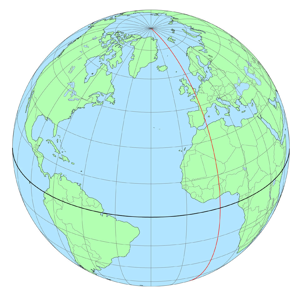
Lines of latitude and longitude form the grid system used on globes, maps and charts. Latitude is a measure of how far north or south somewhere is from the Equator; longitude is a measure of how far east or west it is from the Prime Meridian. Each 15° of longitude is equivalent to a difference in time of one hour. Image courtesy of Andy Sinclair |
Nominal size |
|
Publisher/printer ref. |
|
Website ref. |
lines-of-longitude |

© 2014 – 2024 Graham Dolan
Except where indicated, all text and images are the copyright of Graham Dolan